


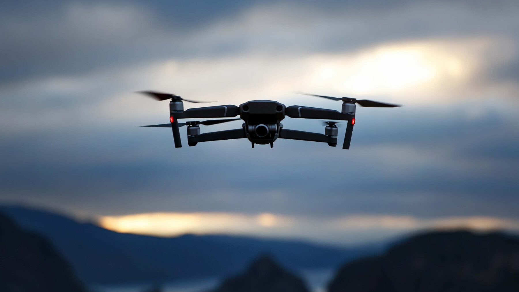
Researchers Test AI to Detect GPS Spoofing in Drones
ETAMU students and faculty used drone flight records to test whether patterns in an aircraft's movement could reveal when its reported location was unreliable.
Imagine a search team sending a drone up a mountainside to look for a missing hiker. The drone is supposed to sweep a ridge, but a false GPS signal makes it think it's somewhere else. It adjusts course based on that bad information and flies into the next valley. On the ground, the search team loses time looking in the wrong place.
That scenario illustrates a problem that researchers at East Texas A&M University are tackling: How can a drone tell when the location it's being given can't be trusted?
In a study accepted for presentation at WATCH 2026, a peer-reviewed workshop held alongside the Association for Computing Machinery's Conference on Computer and Communications Security in The Hague, Netherlands, researchers tested whether artificial intelligence could spot signs of false location information in a drone's flight records. The study, funded by National Science Foundation Award No. 2502117, showed some of the strongest results came from models that had already learned to recognize patterns in large collections of data recorded over time.
Reading the Flight Path
GPS spoofing involves transmitting false signals that can trick a receiver into reporting the wrong location. That differs from GPS jamming, which interferes with reception and can leave a drone without usable location information. The WATCH study focused on detecting unreliable location information in flights affected by spoofing.
In a conflict, someone might use spoofing to steer an opposing drone away from the area it was sent to monitor. The same tactic could send a civilian drone into restricted airspace or cause it to land in an unsafe area. A drone sent off course could miss a threat it was sent to spot, endanger other aircraft or crash near people on the ground.
Dr. Jinoh Kim, a professor in ETAMU's Department of Computer Science and Information Systems, likened the approach to dead reckoning, the practice of tracking movement from a known point using speed, direction and elapsed time. A drone's onboard motion sensors provide information the researchers can use to look for inconsistencies in how the aircraft appears to move.
“We don't refer to any GPS-related attributes,” Kim said. “Instead, we look at how fast the drone moves, in what direction and over how much time to spot signs that its reported location may be wrong.”
The researchers tested their approach using a public dataset from 96 actual drone flights. Of those, 42 were normal and 54 were conducted under controlled spoofing attacks. Some attacks fed the drone a single false location; others fed it false coordinates that changed over time. The team set aside 22 entire flights for testing so the models would be evaluated on flights they hadn't encountered during training.
When Prior Training Pays Off
The researchers compared eight AI models, including models trained from scratch on flight records and models that came with prior training. The best performers had already learned to recognize patterns in numerical data collected over time. The team used flight records to train a separate part of the system to sort short stretches of flight data into two categories: normal or abnormal.
“But surprisingly, pretrained models are working better,” Kim said.
The advantage showed up even when the models had only a brief stretch of flight data to work with. Given 10 consecutive readings, a model called Chronos scored 97.5% on a measure that balances how many abnormal sequences it catches against how often its alerts are correct.
The study evaluated recorded flights. Running the checks during flight is a next step. The broader project, supported by a two-year National Science Foundation grant of about $200,000, also explores how a drone might estimate its location when reliable information is unavailable.
Students Take the Lead
Iyanuoluwa Alegbeleye, an undergraduate computer science student and research assistant at ETAMU, is the paper's first author. Co-authors include Shinhwan Kim, an ETAMU master's student and graduate research assistant; Sang-Yoon Chang of the University of Colorado Colorado Springs; and Jinoh Kim.
Prajeena Maharjan, an ETAMU computer science master's 2026 graduate, joined the broader drone research project as a volunteer before becoming a graduate research assistant. She built a process for preparing flight records for model training and ran, monitored and documented experiments.
“In a classroom, datasets are usually clean, and the problem is already well-defined,” Maharjan said. “Research is quite different.”
When one method for testing model settings took too long, Maharjan tried a more efficient approach and shared her code and findings with another graduate researcher. The experience strengthened her interest in applied AI and in making machine learning systems reliable.
“I learned that progress in research isn't always linear, and sometimes the most valuable lessons come from the experiments that don't work out,” Maharjan said.
Currently, the project team led by Kim includes two undergraduate and two graduate research assistants dedicated to achieving a high degree of drone location integrity and awareness.
ETAMU's Department of Computer Science and Information Systems offers bachelor's and master's degrees in computer science, with areas of study that include artificial intelligence, cybersecurity and computer networks. For prospective students, the drone project offers a glimpse of what research can look like at either level: preparing data from real flights, testing ideas and figuring out why one approach works better than another.